
As humans we have an infatuation with straight lines. They are easy to draw and help us maintain order. Often straight lines are quite helpful: architects use them to design structurally sound buildings, cities laid out in a grid tend to have fewer traffic issues, and I have avoided many arguments between my children by cutting a piece of candy perfectly in half. Unfortunately straight lines can cause problems as well, specifically when it comes to creating a global map.
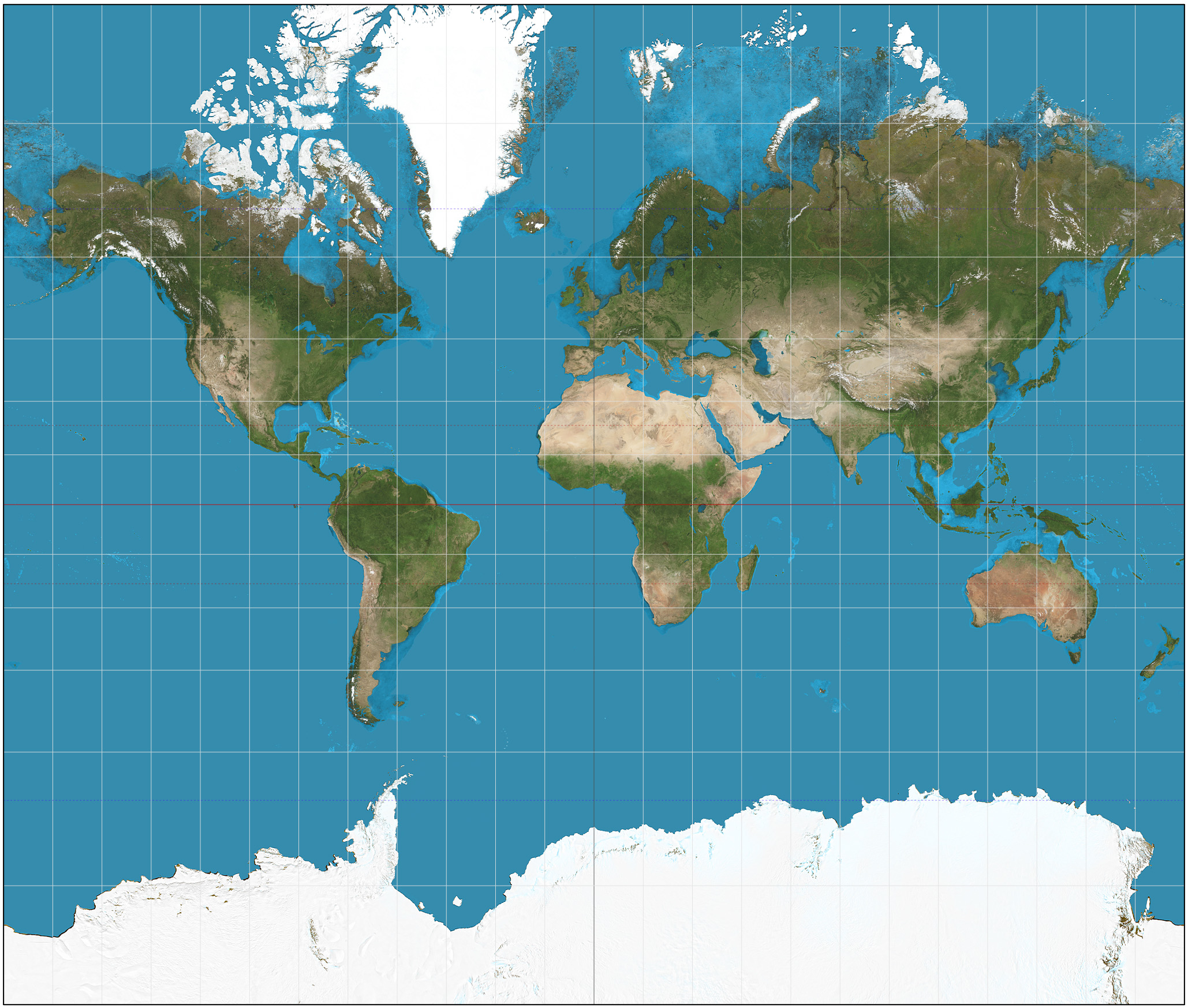
The Mercator map projection is the most commonly used map in the world. It turns the world into one large rectangle that meets perfectly at right angles across the globe. The problem, the world isn’t a giant rectangle, it’s a sphere. The equivalent would be smashing a bowling ball with a sledge hammer and then trying to sort the pieces on the floor. All while trying to make it still look like a bowling ball, physically impossible. Yet, we overwhelmingly use the Mercator map projection for no reason other than it’s easy to print.
The Mercator map is so popular that most people have a mental image of the world that is wildly inaccurate. This problem is caused by map distortion. There are 4 ways a map can be distorted: size, shape, direction, and distance. The two types of distortion most evident in the Mercator projection are size and shape. These problems become greatest near the poles. While placing the sphere on a rectangular map the edges need to be stretched out the most to maintain the straight lines. This causes an optical illusion that makes Russia, Canada, and Greenland (all already quite large in size) seem even larger.
Our friends at Buzzfeed have put together a video showing that the world looks nothing like what we have been programmed to believe. Enjoy!